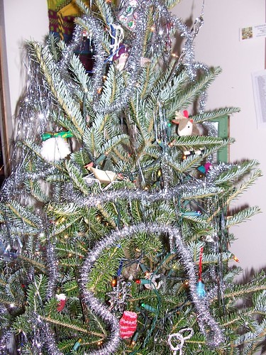
Tree = perfect
Decorations = operator error
The traditional old wood structure that sits by every community ice rink. Battered green paint on the outside. Inside smells of wet wool too close to the heater. Kids everywhere. Little ones on double-bladed training skates. Older ones with hockey sticks or figure skates. Pairs of skaters, including Moms and Dads, skating hand-in-hand. with the required rowdy kids, playing crack-the-whip. A snapshot in time.

...ACCUMULATING SNOW POSSIBLE ON FRIDAY...

A WINTER STORM SYSTEM WILL APPROACH FROM THE WEST AND MOVE THROUGH
THE REGION ON FRIDAY. AT THIS TIME...THE LIKELIEST AREA TO RECEIVE
ACCUMULATING SNOWFALL WILL BE FROM THE DEVILS LAKE BASIN INTO
SOUTHEASTERN NORTH DAKOTA AND WEST CENTRAL MINNESOTA. SNOWFALL
ACCUMULATIONS OF 2 TO 5 INCHES APPEAR POSSIBLE. THE POTENTIAL
EXISTS FOR A NARROW BAND OF 6 OR MORE INCHES...ALTHOUGH THE EXACT
LOCATION OF THIS POTENTIAL HEAVIER BAND OF SNOW IS UNCERTAIN.

Stay tuned, Weather Bunnies.  This could get interesting.